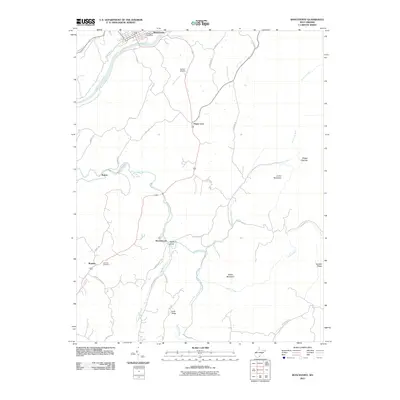
2011 Map of Ronceverte
USGS Topo · Published 2011About this map
The Greenbrier River shapes the northern landscape of this region, where the town of Ronceverte serves as a primary hub. The terrain to the south transitions into a network of ridges and narrow valleys, defined by features like Jones Mountain and Eads Ridge. Local history is anchored in several small settlements and community landmarks, including Organ Cave, Patton, and Secondcreek.
Find a feature on this map
47 named features on this map. Tap any name to fly to it.
Don’t see what you’re looking for? This feature index may not catch every label — zoom into the map to look around manually.
Map Details
Editions of this 2011 Ronceverte Map
This is the sole edition of this map. No revisions or reprints were ever made.
Other maps of this area

1887 · Hinton
USGS Topo · 1:125,000

1887 · Lewisburg
USGS Topo · 1:125,000

1891 · Lewisburg
USGS Topo · 1:125,000

1892 · Hinton
USGS Topo · 1:125,000

1921 · Alderson
USGS Topo · 1:48,000

1921 · White Sulphur Springs
USGS Topo · 1:48,000

1921 · Clintonville
USGS Topo · 1:48,000

1921 · Ronceverte
USGS Topo · 1:48,000

1923 · Clintonville
USGS Topo · 1:62,500

1923 · White Sulphur Springs
USGS Topo · 1:62,500