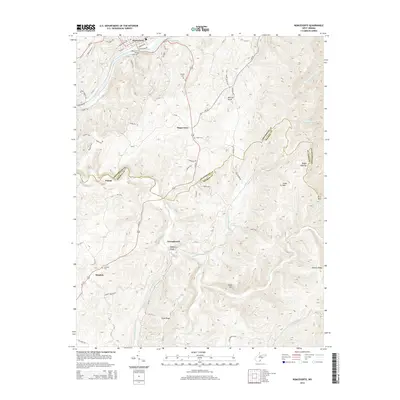
2014 Map of Ronceverte
USGS Topo · Published 2014About this map
The Greenbrier River serves as the focal point for the northern portion of this landscape, where the Ronceverte Bridge connects the settlement of Ronceverte to the surrounding hills. This area marks a significant geographic boundary between Greenbrier and Monroe counties, with the terrain characterized by long ridges and deep drafts. Further south, the map documents the community of Secondcreek and small settlements like Patton and Monitor. Local family history is preserved through the inclusion of the Morgan Cem, Salem Cem, and Lebanon Cem. The intricate network of county roads, such as Hokes Mill Rd and River Rd, follows the natural contours of the land, illustrating how transportation patterns were dictated by the prominent ridges like Daniels Ridge and Eads Ridge. Notable landmarks like Organ Cave and Burdette Spring highlight the unique hydrogeology of this region.
Find a feature on this map
69 named features on this map. Tap any name to fly to it.
Don’t see what you’re looking for? This feature index may not catch every label — zoom into the map to look around manually.
Map Details
Editions of this 2014 Ronceverte Map
This is the sole edition of this map. No revisions or reprints were ever made.
Other maps of this area

1887 · Hinton
USGS Topo · 1:125,000

1887 · Lewisburg
USGS Topo · 1:125,000

1891 · Lewisburg
USGS Topo · 1:125,000

1892 · Hinton
USGS Topo · 1:125,000

1921 · Alderson
USGS Topo · 1:48,000

1921 · White Sulphur Springs
USGS Topo · 1:48,000

1921 · Clintonville
USGS Topo · 1:48,000

1921 · Ronceverte
USGS Topo · 1:48,000

1923 · Clintonville
USGS Topo · 1:62,500

1923 · White Sulphur Springs
USGS Topo · 1:62,500