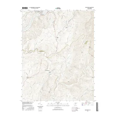
2016 Map of Ronceverte
USGS Topo · Published 2016About this map
The Greenbrier River defines the northern edge of this landscape, where the Ronceverte Bridge links the city of Ronceverte to the surrounding hills. Moving south, the terrain becomes a series of ridges and drafts, including Monroe Draft and Rayburn Draft, which illustrate the complex drainage patterns of the Allegheny plateau. The historic Seneca Trl serves as a primary north-south artery, passing through the community of Organ Cave and near the Salem Cem.
Find a feature on this map
75 named features on this map. Tap any name to fly to it.
Don’t see what you’re looking for? This feature index may not catch every label — zoom into the map to look around manually.
Map Details
Editions of this 2016 Ronceverte Map
This is the sole edition of this map. No revisions or reprints were ever made.
Other maps of this area

1887 · Hinton
USGS Topo · 1:125,000

1887 · Lewisburg
USGS Topo · 1:125,000

1891 · Lewisburg
USGS Topo · 1:125,000

1892 · Hinton
USGS Topo · 1:125,000

1921 · Alderson
USGS Topo · 1:48,000

1921 · White Sulphur Springs
USGS Topo · 1:48,000

1921 · Clintonville
USGS Topo · 1:48,000

1921 · Ronceverte
USGS Topo · 1:48,000

1923 · Clintonville
USGS Topo · 1:62,500

1923 · White Sulphur Springs
USGS Topo · 1:62,500