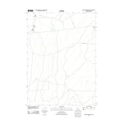
2012 Map of Rongis Reservoir SE
USGS Topo · Published 2012About this map
Muskrat Oil Field occupies the northern reaches of this Wyoming landscape, marking a site of industrial activity amidst a network of seasonal watercourses and drainage draws. The area is defined by its hydraulic management, featuring several catchment points such as East Horseshoe Reservoir, Barber Reservoir, and Sherlock Reservoir. These man-made features support a dry environment characterized by the branching systems of the East Fork Horseshoe Draw, West Fork Horseshoe Draw, and Middle Fork Horseshoe Draw. Regional transit is facilitated by historic thoroughfares like the Old Lander Casper Rd, which cuts across the central portion of the sheet. The drainage pattern, including Indian Grove Cr and Murphy Draw, illustrates the natural flow towards lower elevations in this part of Fremont County.
Find a feature on this map
14 named features on this map. Tap any name to fly to it.
Don’t see what you’re looking for? This feature index may not catch every label — zoom into the map to look around manually.
Map Details
Editions of this 2012 Rongis Reservoir SE Map
This is the sole edition of this map. No revisions or reprints were ever made.
Other maps of this area

1952 · Tin Cup Mountain
USGS Topo · 1:24,000

1952 · Muskrat Basin
USGS Topo · 1:24,000

1952 · Rongis Reservoir SE
USGS Topo · 1:24,000

1952 · Double Butte
USGS Topo · 1:24,000

1952 · Love Ranch
USGS Topo · 1:24,000

1952 · Rongis Reservoir
USGS Topo · 1:24,000

1952 · Puddle Springs
USGS Topo · 1:24,000

1952 · Butte Well
USGS Topo · 1:24,000

1952 · Coyote Springs
USGS Topo · 1:24,000

1955 · Casper
USGS Topo · 1:250,000