
1952 Map of Coyote Springs
USGS Topo · Published 1953About this map
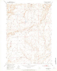
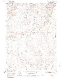
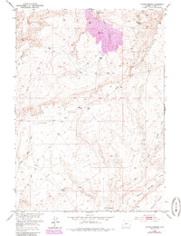
Beaver Rim dominates this 1952 topographic study, marking a sharp geological divide in this portion of Fremont County. The map details a landscape defined by its scarce water sources, where early ranchers and travelers relied on sites like Coyote Springs, Wild Horse Springs, and Mud Springs. The drainage patterns are clearly etched into the terrain, showing Muskrat Creek and Coyote Creek winding toward the north, while the southern reaches descend into Agate Flats. Evidence of early industrial exploration is visible near the Diamond Springs Road with a recorded Oil Well (Dry), reflecting the mid-century search for resources in the Missouri River Basin. Topographic details reveal the unique depressions of The Dry Lakes and the branching network of Diamond Springs Draw, providing a precise look at the arid hydrology of the region during the early 1950s.
Find a feature on this map
17 named features on this map. Tap any name to fly to it.
Don’t see what you’re looking for? This feature index may not catch every label — zoom into the map to look around manually.
Map Details
Editions of this 1952 Coyote Springs Map
4 editions found
Other maps of this area

1951 · Stampede Meadow
USGS Topo · 1:24,000

1951 · Black Rock Gap
USGS Topo · 1:24,000

1951 · Lankin Dome
USGS Topo · 1:24,000

1952 · Muskrat Basin
USGS Topo · 1:24,000

1952 · Rongis Reservoir SE
USGS Topo · 1:24,000

1952 · Gas Hills
USGS Topo · 1:24,000

1952 · Puddle Springs
USGS Topo · 1:24,000

1952 · Mc Intosh Meadows
USGS Topo · 1:24,000

1955 · Casper
USGS Topo · 1:250,000
1957 · Puddle Springs
USGS Topo · 1:24,000