
1952 Map of Mc Intosh Meadows
USGS Topo · Published 1969About this map
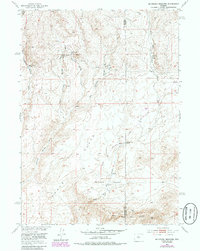
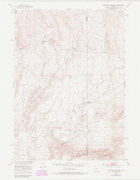
Agate Flats dominates the landscape of the high desert along the border of Fremont and Natrona counties. This 1952 field survey, published as part of the Department of the Interior's Missouri River Basin development program, reveals a terrain defined by critical water sources and early transit routes. The presence of numerous named water points, including Big Diamond Spring, East Diamond Springs, and Lawver Cabin Spring, indicates the vital importance of these locations for livestock and travelers in an arid environment. The historic Freight Road cuts across the sagebrush-covered plains, leading toward Cold Spring and the distinctive geological formation of Sage Hen Rocks. Near McIntosh Meadows, the drainage of Sage Hen Creek and its western forks provide a rare break in the topography of this cattle and sheep ranching country.
Find a feature on this map
19 named features on this map. Tap any name to fly to it.
Don’t see what you’re looking for? This feature index may not catch every label — zoom into the map to look around manually.
Map Details
Editions of this 1952 Mc Intosh Meadows Map
3 editions found
Other maps of this area

1951 · Lone Mountain
USGS Topo · 1:24,000

1951 · Black Rock Gap
USGS Topo · 1:24,000

1951 · Lankin Dome
USGS Topo · 1:24,000

1952 · Ervay Basin SW
USGS Topo · 1:24,000

1952 · Gas Hills
USGS Topo · 1:24,000

1952 · Puddle Springs
USGS Topo · 1:24,000

1952 · Coyote Springs
USGS Topo · 1:24,000

1955 · Casper
USGS Topo · 1:250,000
1957 · Puddle Springs
USGS Topo · 1:24,000

1958 · Casper
USGS Topo · 1:250,000