
1951 Map of Black Rock Gap
USGS Topo · Published 1953About this map
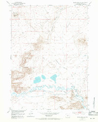
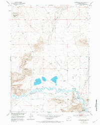
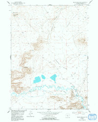
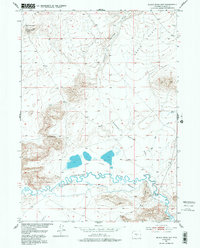
The Sweetwater River winds through the southern reaches of this Wyoming landscape, defining a corridor of early irrigation and rugged geological formations. Surveyed for the development of the Missouri River Basin, the map documents the hydraulic engineering of the early 1950s, including the Mc Intosh-Beaton Ditch and an Abandoned Ditch that suggests shifting water management priorities on the range. The terrain is dominated by high-altitude features like the Agate Flats and the prominent Sweetwater Rocks. Landmarks such as Black Rock Gap and Quaking Asp Gap provide natural passages through the uplifted ground, while isolated water sources like Black Rock Spring and Diamond Springs Draw illustrate the sparse but vital hydrology of Fremont County's high plains.
Find a feature on this map
13 named features on this map. Tap any name to fly to it.
Don’t see what you’re looking for? This feature index may not catch every label — zoom into the map to look around manually.
Map Details
Editions of this 1951 Black Rock Gap Map
5 editions found
Other maps of this area

1951 · Crooks Creek NE
USGS Topo · 1:24,000

1951 · Stampede Meadow
USGS Topo · 1:24,000

1951 · Split Rock
USGS Topo · 1:24,000

1951 · Split Rock NW
USGS Topo · 1:24,000

1951 · Lankin Dome
USGS Topo · 1:24,000

1952 · Muskrat Basin
USGS Topo · 1:24,000

1952 · Coyote Springs
USGS Topo · 1:24,000

1952 · Mc Intosh Meadows
USGS Topo · 1:24,000

1955 · Casper
USGS Topo · 1:250,000

1957 · Jeffrey City
USGS Topo · 1:24,000