
1951 Map of Lankin Dome
USGS Topo · Published 1953About this map
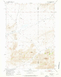
Sweetwater Rocks dominate the southern half of this mid-century survey, rising sharply above the high desert floor of central Wyoming. This landscape is defined by its massive granite formations, including Lankin Dome, Bills Peak, and the prominent Mc Intosh Peak near the eastern boundary. Life in this arid environment centered around critical water sources and isolated outposts like the Murphy Ranch, while the northern reaches open into the broad, high expanse of Agate Flats.
Find a feature on this map
23 named features on this map. Tap any name to fly to it.
Don’t see what you’re looking for? This feature index may not catch every label — zoom into the map to look around manually.
Map Details
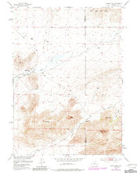
Editions of this 1951 Lankin Dome Map
3 editions found
Other maps of this area

1951 · Bucklin Reservoirs
USGS Topo · 1:24,000

1951 · Lone Mountain
USGS Topo · 1:24,000

1951 · Black Rock Gap
USGS Topo · 1:24,000

1951 · Split Rock
USGS Topo · 1:24,000

1951 · Split Rock NW
USGS Topo · 1:24,000

1952 · Coyote Springs
USGS Topo · 1:24,000

1952 · Mc Intosh Meadows
USGS Topo · 1:24,000

1955 · Casper
USGS Topo · 1:250,000

1958 · Casper
USGS Topo · 1:250,000

1959 · Blackjack Ranch
USGS Topo · 1:24,000