
1959 Map of Blackjack Ranch
USGS Topo · Published 1961About this map
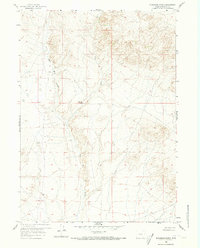
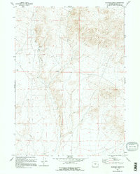
Blackjack Ranch and the surrounding high plains of Natrona County are captured here during a period of late 1950s ranching and resource management. The landscape is defined by the convergence of the Middle Fork and East Fork, which feed into the drainage of Sage Hen Creek. Topographic control points such as VABM Trout and VABM Hen provide elevation data across the unimproved dirt roads and trails that connected these isolated outposts to the wider region. Roads shown leading to Dry Creek Road and Bug Ranch illustrate the vast distances between neighbors in this part of Wyoming. The presence of several named springs and the seasonal nature of the watercourses suggest the critical importance of water rights and access for livestock and local inhabitants during the mid-20th century.
Find a feature on this map
16 named features on this map. Tap any name to fly to it.
Don’t see what you’re looking for? This feature index may not catch every label — zoom into the map to look around manually.
Map Details
Editions of this 1959 Blackjack Ranch Map
3 editions found
Other maps of this area

1951 · Lone Mountain
USGS Topo · 1:24,000

1951 · Lankin Dome
USGS Topo · 1:24,000

1952 · Ervay Basin SW
USGS Topo · 1:24,000

1952 · Gas Hills
USGS Topo · 1:24,000

1952 · Mc Intosh Meadows
USGS Topo · 1:24,000

1955 · Casper
USGS Topo · 1:250,000

1958 · Casper
USGS Topo · 1:250,000
1958 · Gas Hills
USGS Topo · 1:24,000

1959 · Miller Spring
USGS Topo · 1:24,000

1959 · Barlow Gap
USGS Topo · 1:24,000