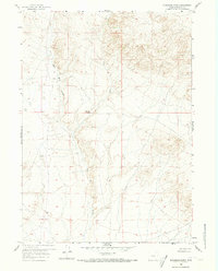
1959 Map of Blackjack Ranch
USGS Topo · Published 1973About this map
Blackjack Ranch serves as a primary point of human settlement in this high-altitude landscape of central Wyoming. Mapped in the late 1950s, the terrain is defined by the drainage systems of Sage Hen Creek and its East Fork, flowing through a series of complex coulees and draws. The survival of ranching operations in this arid region is marked by numerous Spring and Springs locations, which provide essential water sources for livestock and local wildlife.
Find a feature on this map
21 named features on this map. Tap any name to fly to it.
Don’t see what you’re looking for? This feature index may not catch every label — zoom into the map to look around manually.
Map Details
Editions of this 1959 Blackjack Ranch Map
3 editions found
Other maps of this area

1951 · Lone Mountain
USGS Topo · 1:24,000

1951 · Lankin Dome
USGS Topo · 1:24,000

1952 · Ervay Basin SW
USGS Topo · 1:24,000

1952 · Gas Hills
USGS Topo · 1:24,000

1952 · Mc Intosh Meadows
USGS Topo · 1:24,000

1955 · Casper
USGS Topo · 1:250,000

1958 · Casper
USGS Topo · 1:250,000
1958 · Gas Hills
USGS Topo · 1:24,000

1959 · Miller Spring
USGS Topo · 1:24,000

1959 · Blackjack Ranch
USGS Topo · 1:24,000