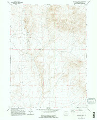
1959 Map of Blackjack Ranch
USGS Topo · Published 1995About this map
Blackjack Ranch sits as a primary point of reference in this mid-century view of the Wyoming high desert, south of the Rattlesnake Hills. The landscape is defined by the drainage of Sage Hen Creek, which cuts through the terrain alongside its East Fork. This 1959 field-checked survey highlights the isolation of high-plains ranching life, where water sources like the various Spring and Springs labels signify vital resources for livestock and survival. Geodetic markers such as Vabm 7022 and Vabm 6975 provide vertical control across the ridges, documenting the undulating topography of western Natrona County before later development or energy exploration altered the surface.
Find a feature on this map
8 named features on this map. Tap any name to fly to it.
Don’t see what you’re looking for? This feature index may not catch every label — zoom into the map to look around manually.
Map Details
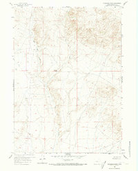
Editions of this 1959 Blackjack Ranch Map
3 editions found
Other maps of this area

1951 · Lone Mountain
USGS Topo · 1:24,000

1951 · Lankin Dome
USGS Topo · 1:24,000

1952 · Ervay Basin SW
USGS Topo · 1:24,000

1952 · Gas Hills
USGS Topo · 1:24,000

1952 · Mc Intosh Meadows
USGS Topo · 1:24,000

1955 · Casper
USGS Topo · 1:250,000

1958 · Casper
USGS Topo · 1:250,000
1958 · Gas Hills
USGS Topo · 1:24,000

1959 · Miller Spring
USGS Topo · 1:24,000

1959 · Blackjack Ranch
USGS Topo · 1:24,000