
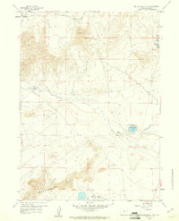
1959 Map of Barlow Gap
USGS Topo · Published 1961About this map
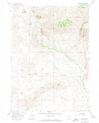
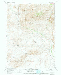
Sweetwater Rocks dominate the southern landscape of this Natrona County terrain, where the high desert is defined by wind-scoured gaps and seasonal drainage patterns. During the late 1950s, this area supported several cattle operations, including the Circle Bar Ranch in the north and the Claytor Ranch near a small airstrip. The presence of the Vide Homestead (Aband) near McDougal Gulch suggests an earlier era of attempted settlement that had already faded by the time of this survey.
Find a feature on this map
18 named features on this map. Tap any name to fly to it.
Don’t see what you’re looking for? This feature index may not catch every label — zoom into the map to look around manually.
Map Details
Editions of this 1959 Barlow Gap Map
3 editions found
Other maps of this area

1951 · Lone Mountain
USGS Topo · 1:24,000

1952 · Ervay Basin SW
USGS Topo · 1:24,000

1955 · Casper
USGS Topo · 1:250,000

1958 · Casper
USGS Topo · 1:250,000
1959 · Stinking Water Creek
USGS Topo · 1:24,000

1959 · Saddle Rock
USGS Topo · 1:24,000

1959 · Miller Spring
USGS Topo · 1:24,000

1959 · Blackjack Ranch
USGS Topo · 1:24,000
1959 · Garfield Peak
USGS Topo · 1:24,000
1959 · Beulah Belle Lake
USGS Topo · 1:24,000