
1951 Map of Split Rock NW
USGS Topo · Published 1953About this map
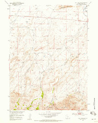
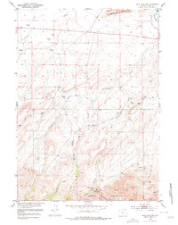
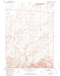
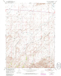
Green Mountains and the Owl Hills dominate the southern portion of this mid-century high-desert landscape in Fremont County. The map captures a critical water management network essential for livestock and local agriculture in an arid climate, specifically the Mcintosh Beaton Ditch near the Sweetwater R. This drainage system is fed by the intricate branching of Cottonwood Creek, including its West Fork, Middle Fork, and East Fork, which carve through the elevations toward the Sweetwater Rocks in the north. Scattered Windmills and isolated Springs mark the few points of developed water access across the open range, illustrating the sparse settlement patterns of central Wyoming during this era of Missouri River Basin development.
Find a feature on this map
15 named features on this map. Tap any name to fly to it.
Don’t see what you’re looking for? This feature index may not catch every label — zoom into the map to look around manually.
Map Details
Editions of this 1951 Split Rock NW Map
5 editions found
Other maps of this area

1951 · Crooks Creek NE
USGS Topo · 1:24,000

1951 · Stampede Meadow
USGS Topo · 1:24,000

1951 · Black Rock Gap
USGS Topo · 1:24,000

1951 · Split Rock
USGS Topo · 1:24,000

1951 · Lankin Dome
USGS Topo · 1:24,000

1955 · Casper
USGS Topo · 1:250,000

1957 · Jeffrey City
USGS Topo · 1:24,000

1958 · Casper
USGS Topo · 1:250,000

1961 · Crooks Peak
USGS Topo · 1:24,000

1962 · Casper
USGS Topo · 1:250,000