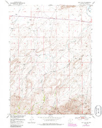
1951 Map of Split Rock NW
USGS Topo · Published 1986About this map
The Sweetwater R winds through the northeast corner of this high-desert landscape, a vital water source in the arid cattle country of central Wyoming. This 1951 survey, updated in the 1980s, reveals a complex drainage network where the Cottonwood Creek system fans out across the terrain. From the heights of Green Mountain and the Owl Hills in the south, the Middle Cottonwood Creek and its eastern and western forks flow northward toward the plains. The map is a testament to the essential infrastructure of ranching, dotted with numerous Windmill sites and irrigation features like the Beaton Ditch. These marks of human effort are set against the backdrop of geological landmarks like the eponymous Split Rock, providing a detailed look at how the land was utilized for grazing in the mid-20th century.
Find a feature on this map
16 named features on this map. Tap any name to fly to it.
Don’t see what you’re looking for? This feature index may not catch every label — zoom into the map to look around manually.
Map Details
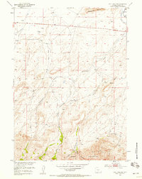
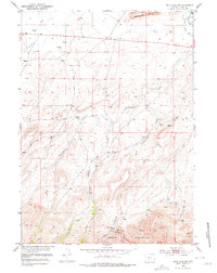
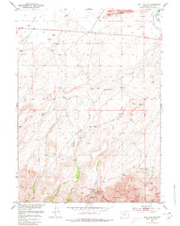
Editions of this 1951 Split Rock NW Map
5 editions found
Other maps of this area

1951 · Crooks Creek NE
USGS Topo · 1:24,000

1951 · Stampede Meadow
USGS Topo · 1:24,000

1951 · Black Rock Gap
USGS Topo · 1:24,000

1951 · Split Rock
USGS Topo · 1:24,000

1951 · Split Rock NW
USGS Topo · 1:24,000

1951 · Lankin Dome
USGS Topo · 1:24,000

1955 · Casper
USGS Topo · 1:250,000

1957 · Jeffrey City
USGS Topo · 1:24,000

1958 · Casper
USGS Topo · 1:250,000

1961 · Crooks Peak
USGS Topo · 1:24,000