
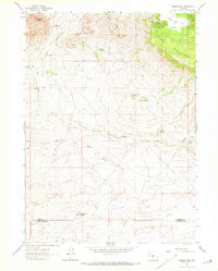
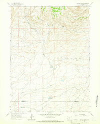
1961 Map of Crooks Peak
USGS Topo · Published 1966About this map
Crooks Peak and the high ridges of Green Mountain dominate this Central Wyoming landscape at the start of the 1960s. The map illustrates a transitional zone where high-altitude peaks meet the lower drainage basins, characterized by the rugged passage at Crooks Gap. Human activity is concentrated around early energy and ranching interests, evidenced by the Kirk Mine and a nearby Strip Mine in the northwest corner.
Find a feature on this map
19 named features on this map. Tap any name to fly to it.
Don’t see what you’re looking for? This feature index may not catch every label — zoom into the map to look around manually.
Map Details
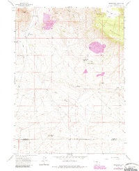
Editions of this 1961 Crooks Peak Map
3 editions found
Other maps of this area

1951 · Crooks Creek NE
USGS Topo · 1:24,000

1951 · Split Rock NW
USGS Topo · 1:24,000

1951 · Crooks Mountain
USGS Topo · 1:24,000

1955 · Casper
USGS Topo · 1:250,000

1957 · Jeffrey City
USGS Topo · 1:24,000

1958 · Casper
USGS Topo · 1:250,000
1961 · Osborne Well
USGS Topo · 1:24,000
1961 · Antelope Reservoir
USGS Topo · 1:24,000

1961 · Hadsell Spring
USGS Topo · 1:24,000
1961 · Brenton Springs
USGS Topo · 1:24,000