
1951 Map of Crooks Mountain
USGS Topo · Published 1953About this map
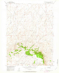
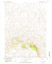
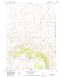
The Crooks Mountain area reveals a mid-century landscape defined by energy exploration and high-desert drainage patterns. Mapped during the early 1950s, the terrain is dominated by the industrial infrastructure of the Crooks Gap Oil Field, where numerous Oil Wells and a network of Pipe Lines cut through the foothills of the Green Mountains. This intersection of natural resource extraction and geography is particularly evident near Happy Springs, where the topographic relief drops toward the drainage systems of Haypress Creek and Nancy Creek. Small water features like Boggy Springs Pond and Woods Gulch Pond punctuate an otherwise arid landscape, providing vital landmarks for surveyors and local ranchers. The presence of a long-distance Telephone Line traversing the eastern portion of the map indicates the early communication links necessary to support this remote industrial activity.
Find a feature on this map
18 named features on this map. Tap any name to fly to it.
Don’t see what you’re looking for? This feature index may not catch every label — zoom into the map to look around manually.
Map Details
Editions of this 1951 Crooks Mountain Map
4 editions found
Other maps of this area

1951 · Soap Holes
USGS Topo · 1:24,000

1951 · Crooks Creek NE
USGS Topo · 1:24,000

1951 · Stampede Meadow
USGS Topo · 1:24,000

1951 · Graham Ranch
USGS Topo · 1:24,000

1951 · Myers Ranch
USGS Topo · 1:24,000

1955 · Lander
USGS Topo · 1:250,000

1955 · Casper
USGS Topo · 1:250,000

1957 · Jeffrey City
USGS Topo · 1:24,000

1958 · Casper
USGS Topo · 1:250,000

1958 · Lander
USGS Topo · 1:250,000