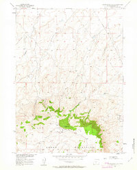
1951 Map of Crooks Mountain
USGS Topo · Published 1963About this map
Crooks Mountain and the Green Mountains dominate this high-altitude landscape in Fremont County, where the transition from sagebrush flats to wooded ridges is sharply defined. Surveyed in the early 1950s, the map highlights a rugged industrial footprint centered on the Crooks Gap Oil Field along the eastern margin. Numerous Oil Wells are scattered across the terrain, indicating the post-war energy development of the Missouri River Basin.
Find a feature on this map
20 named features on this map. Tap any name to fly to it.
Don’t see what you’re looking for? This feature index may not catch every label — zoom into the map to look around manually.
Map Details
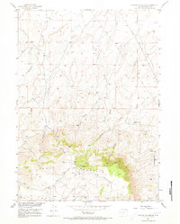
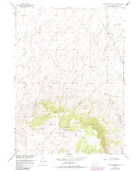
Editions of this 1951 Crooks Mountain Map
4 editions found
Other maps of this area

1951 · Soap Holes
USGS Topo · 1:24,000

1951 · Crooks Creek NE
USGS Topo · 1:24,000

1951 · Stampede Meadow
USGS Topo · 1:24,000

1951 · Graham Ranch
USGS Topo · 1:24,000

1951 · Crooks Mountain
USGS Topo · 1:24,000

1951 · Myers Ranch
USGS Topo · 1:24,000

1955 · Lander
USGS Topo · 1:250,000

1955 · Casper
USGS Topo · 1:250,000

1957 · Jeffrey City
USGS Topo · 1:24,000

1958 · Casper
USGS Topo · 1:250,000