
1951 Map of Graham Ranch
USGS Topo · Published 1953About this map
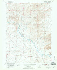
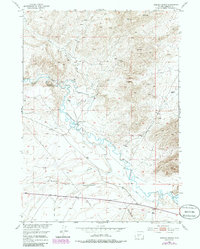
The Oregon Trail cuts a historic path across this high-desert landscape in central Wyoming, following the southern banks of the Sweetwater River and Ice Slough. This 1951 survey, developed as part of the Department of the Interior's Missouri River Basin project, documents the early 1950s ranching and extraction economy centered around Graham Ranch. Mineral interests are well-defined, with several sites including a Jade Prospect and multiple Jade Mine (Inactive) locations scattered across the northern hills. Water management for the arid region is represented by the Emigrant Ditch and various smaller channels, while industrial progress is marked by an Oil Well (Aban'd) and a regional Pipe Line. The varied topography rises from the river valley toward the prominent Sweetwater Rocks in the southeast corner.
Find a feature on this map
18 named features on this map. Tap any name to fly to it.
Don’t see what you’re looking for? This feature index may not catch every label — zoom into the map to look around manually.
Map Details
Editions of this 1951 Graham Ranch Map
3 editions found
Other maps of this area

1951 · Soap Holes
USGS Topo · 1:24,000

1951 · Crooks Creek NE
USGS Topo · 1:24,000

1951 · Stampede Meadow
USGS Topo · 1:24,000

1951 · Crooks Mountain
USGS Topo · 1:24,000

1951 · Myers Ranch
USGS Topo · 1:24,000

1952 · Tin Cup Mountain
USGS Topo · 1:24,000

1952 · Muskrat Basin
USGS Topo · 1:24,000

1953 · Elkhorn Springs
USGS Topo · 1:24,000

1955 · Lander
USGS Topo · 1:250,000

1955 · Casper
USGS Topo · 1:250,000