
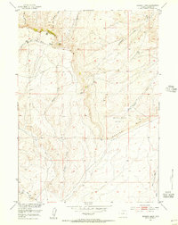
1952 Map of Muskrat Basin
USGS Topo · Published 1953About this map
The dramatic geological shelf of Beaver Rim dominates this mid-century topographic survey of Fremont County. This high-plateau landscape drops sharply into the expansive Muskrat Basin, revealing the complex drainage patterns of the high desert. At the base of these cliffs, Indian Grove represents a named landmark in an otherwise sparsely populated range.
Find a feature on this map
12 named features on this map. Tap any name to fly to it.
Don’t see what you’re looking for? This feature index may not catch every label — zoom into the map to look around manually.
Map Details
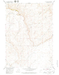
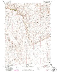
Editions of this 1952 Muskrat Basin Map
4 editions found
Other maps of this area

1951 · Stampede Meadow
USGS Topo · 1:24,000

1951 · Black Rock Gap
USGS Topo · 1:24,000

1951 · Graham Ranch
USGS Topo · 1:24,000

1952 · Tin Cup Mountain
USGS Topo · 1:24,000

1952 · Rongis Reservoir SE
USGS Topo · 1:24,000

1952 · Rongis Reservoir
USGS Topo · 1:24,000

1952 · Puddle Springs
USGS Topo · 1:24,000

1952 · Coyote Springs
USGS Topo · 1:24,000

1955 · Casper
USGS Topo · 1:250,000
1957 · Puddle Springs
USGS Topo · 1:24,000