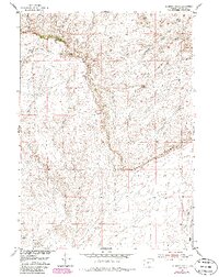
1952 Map of Muskrat Basin
USGS Topo · Published 1985About this map
Beaver Rim dominates the northern landscape of this Fremont County survey, where the high plateaus drop sharply toward the drainages of the Muskrat Basin. The map captures a high-desert terrain shaped by livestock ranching and natural water sources, characterized by the presence of the Sherlock Shearing Pens and the sheltered Indian Grove. Numerous ephemeral waterways, including Muskrat Creek, Buffalo Creek, and the East Fork Long Creek, carve through the basin's floor. This 1952 study, based on 1949 aerial photography and later photorevised in the 1980s, highlights the essential relationship between water and land use in this arid region. The network of unimproved roads and draws, such as Cottonwood Draw and Horseshoe Draw, reveals the remote infrastructure used by ranchers and land managers in the mid-20th century.
Find a feature on this map
13 named features on this map. Tap any name to fly to it.
Don’t see what you’re looking for? This feature index may not catch every label — zoom into the map to look around manually.
Map Details
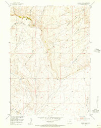
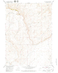
Editions of this 1952 Muskrat Basin Map
4 editions found
Other maps of this area

1951 · Stampede Meadow
USGS Topo · 1:24,000

1951 · Black Rock Gap
USGS Topo · 1:24,000

1951 · Graham Ranch
USGS Topo · 1:24,000

1952 · Tin Cup Mountain
USGS Topo · 1:24,000

1952 · Muskrat Basin
USGS Topo · 1:24,000

1952 · Rongis Reservoir SE
USGS Topo · 1:24,000

1952 · Rongis Reservoir
USGS Topo · 1:24,000

1952 · Puddle Springs
USGS Topo · 1:24,000

1952 · Coyote Springs
USGS Topo · 1:24,000

1955 · Casper
USGS Topo · 1:250,000