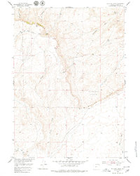
1952 Map of Muskrat Basin
USGS Topo · Published 1979About this map
Beaver Divide dominates this mid-century topographic study, forming a prominent geological break that separates the Muskrat Basin from the surrounding high desert drainage. The landscape is defined by an intricate network of erosional features, including the sprawling headwaters of Buffalo Creek and Muskrat Creek, as well as numerous seasonal drainages like Cottonwood Draw and Horseshoe Draw. These natural corridors dictate the layout of early ranching infrastructure in this part of Fremont County.
Find a feature on this map
14 named features on this map. Tap any name to fly to it.
Don’t see what you’re looking for? This feature index may not catch every label — zoom into the map to look around manually.
Map Details
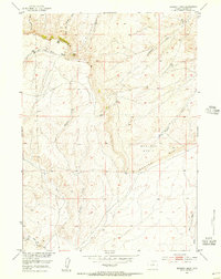
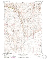
Editions of this 1952 Muskrat Basin Map
4 editions found
Other maps of this area

1951 · Stampede Meadow
USGS Topo · 1:24,000

1951 · Black Rock Gap
USGS Topo · 1:24,000

1951 · Graham Ranch
USGS Topo · 1:24,000

1952 · Tin Cup Mountain
USGS Topo · 1:24,000

1952 · Muskrat Basin
USGS Topo · 1:24,000

1952 · Rongis Reservoir SE
USGS Topo · 1:24,000

1952 · Rongis Reservoir
USGS Topo · 1:24,000

1952 · Puddle Springs
USGS Topo · 1:24,000

1952 · Coyote Springs
USGS Topo · 1:24,000

1955 · Casper
USGS Topo · 1:250,000