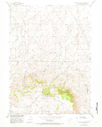
1951 Map of Crooks Mountain
USGS Topo · Published 1973About this map
Crooks Mountain dominates the southern landscape of this 1951 survey, a prominent rise in the high desert of Fremont County. The map reveals an active extractive economy, with numerous Oil Wells and a designated Oil Field clustered near the eastern slopes. This industrial footprint is interspersed with natural water sources and drainage systems, including the complex network of Happy Springs and localized watering points like Boggy Springs Pond.
Find a feature on this map
18 named features on this map. Tap any name to fly to it.
Don’t see what you’re looking for? This feature index may not catch every label — zoom into the map to look around manually.
Map Details
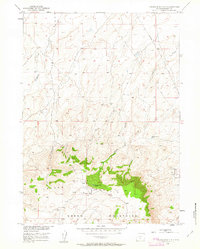
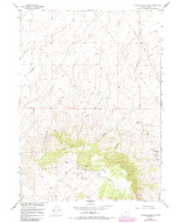
Editions of this 1951 Crooks Mountain Map
4 editions found
Other maps of this area

1951 · Soap Holes
USGS Topo · 1:24,000

1951 · Crooks Creek NE
USGS Topo · 1:24,000

1951 · Stampede Meadow
USGS Topo · 1:24,000

1951 · Graham Ranch
USGS Topo · 1:24,000

1951 · Crooks Mountain
USGS Topo · 1:24,000

1951 · Myers Ranch
USGS Topo · 1:24,000

1955 · Lander
USGS Topo · 1:250,000

1955 · Casper
USGS Topo · 1:250,000

1957 · Jeffrey City
USGS Topo · 1:24,000

1958 · Casper
USGS Topo · 1:250,000