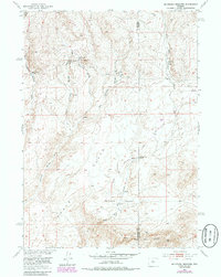
1952 Map of Mc Intosh Meadows
USGS Topo · Published 1985About this map
Mcintosh Meadows and the surrounding high plains of central Wyoming define this 1952 topographic study, which highlights a landscape shaped by vital water sources and early transit routes. The terrain is marked by a series of named hydrologic features including Big Diamond Spring, East Diamond Springs, and Lawrence Cabin Spring, which were critical for livestock and travelers in this arid environment. The presence of the Freight Road and multiple Landing Strips underscores the area's importance as a corridor for movement across the Flats.
Find a feature on this map
21 named features on this map. Tap any name to fly to it.
Don’t see what you’re looking for? This feature index may not catch every label — zoom into the map to look around manually.
Map Details
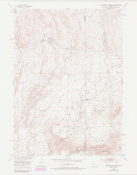
Editions of this 1952 Mc Intosh Meadows Map
3 editions found
Other maps of this area

1951 · Lone Mountain
USGS Topo · 1:24,000

1951 · Black Rock Gap
USGS Topo · 1:24,000

1951 · Lankin Dome
USGS Topo · 1:24,000

1952 · Ervay Basin SW
USGS Topo · 1:24,000

1952 · Gas Hills
USGS Topo · 1:24,000

1952 · Puddle Springs
USGS Topo · 1:24,000

1952 · Coyote Springs
USGS Topo · 1:24,000

1952 · Mc Intosh Meadows
USGS Topo · 1:24,000

1955 · Casper
USGS Topo · 1:250,000
1957 · Puddle Springs
USGS Topo · 1:24,000