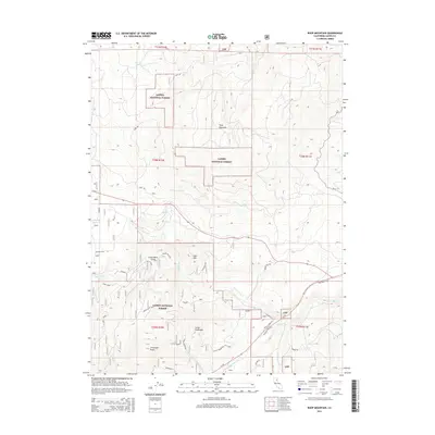
2015 Map of Roop Mountain
USGS Topo · Published 2015About this map
Lassen National Forest dominates this section of the Sierra Nevada mountains, where high-altitude peaks and vital water sources define the local geography. Significant elevations like Roop Mountain and Fredonyer Butte anchor the high ground, while the Hog Flat Reservoir and Big Spring indicate the critical role of water management and natural springs in this arid timberland. The map provides a detailed view of the drainage patterns for the Susan River and its tributaries, such as Willard Cr.
Find a feature on this map
30 named features on this map. Tap any name to fly to it.
Don’t see what you’re looking for? This feature index may not catch every label — zoom into the map to look around manually.
Map Details
Editions of this 2015 Roop Mountain Map
This is the sole edition of this map. No revisions or reprints were ever made.
Other maps of this area

1886 · Honey Lake
USGS Topo · 1:250,000

1891 · Honey Lake
USGS Topo · 1:250,000

1893 · Honey Lake
USGS Topo · 1:250,000

1954 · Susanville
USGS Topo · 1:62,500

1954 · Fredonyer Peak
USGS Topo · 1:62,500

1955 · Westwood
USGS Topo · 1:62,500

1955 · Westwood
USGS Topo · 1:250,000

1956 · Antelope Mtn
USGS Topo · 1:62,500

1958 · Westwood
USGS Topo · 1:250,000

1959 · Westwood
USGS Topo · 1:250,000