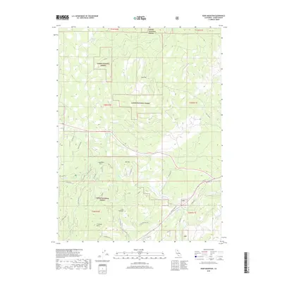
2018 Map of Roop Mountain
USGS Topo · Published 2018About this map
Lassen National Forest dominates this Lassen County landscape, where the Susan River carves a path through the high country of the eastern Sierra Nevada. This 2018 survey detail shows a network of forest service roads and trails, including Stock Trl and River Bench Rd, that weave around prominent peaks like Roop Mtn and Goat Mtn. The terrain is defined by its drainages and volcanic features, from the flow of Willard Cr to the distinctive profile of Fredonyer Butte. Local history and land use are reflected in specific place names such as Crazy Harry Gulch and Little Fredonyer, while reliable water sources like Beartrap Spring and Big Spring remain vital markers for navigation and livestock management within the national forest boundaries.
Find a feature on this map
35 named features on this map. Tap any name to fly to it.
Don’t see what you’re looking for? This feature index may not catch every label — zoom into the map to look around manually.
Map Details
Editions of this 2018 Roop Mountain Map
This is the sole edition of this map. No revisions or reprints were ever made.
Other maps of this area

1886 · Honey Lake
USGS Topo · 1:250,000

1891 · Honey Lake
USGS Topo · 1:250,000

1893 · Honey Lake
USGS Topo · 1:250,000

1954 · Susanville
USGS Topo · 1:62,500

1954 · Fredonyer Peak
USGS Topo · 1:62,500

1955 · Westwood
USGS Topo · 1:62,500

1955 · Westwood
USGS Topo · 1:250,000

1956 · Antelope Mtn
USGS Topo · 1:62,500

1958 · Westwood
USGS Topo · 1:250,000

1959 · Westwood
USGS Topo · 1:250,000