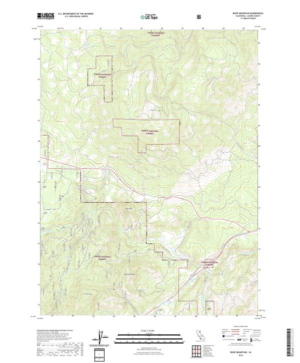
2022 Map of Roop Mountain
USGS Topo · Published 2022About this map
The Lassen National Forest dominates this high-altitude landscape in Northern California, defined by volcanic peaks and the headwaters of the regional drainage system. Roop Mtn and Goat Mtn stand as prominent landmarks, while the southern portion of the quadrangle is anchored by the Susan River as it winds toward the Honey Lake Valley. The area around Little Fredonyer shows a complex network of forest access roads such as Devils Corral RD and the historic Stock Trl, reflecting the region's long history of ranching and timber management.
Find a feature on this map
25 named features on this map. Tap any name to fly to it.
Don’t see what you’re looking for? This feature index may not catch every label — zoom into the map to look around manually.
Map Details
Editions of this 2022 Roop Mountain Map
This is the sole edition of this map. No revisions or reprints were ever made.
Other maps of this area

1886 · Honey Lake
USGS Topo · 1:250,000

1891 · Honey Lake
USGS Topo · 1:250,000

1893 · Honey Lake
USGS Topo · 1:250,000

1954 · Susanville
USGS Topo · 1:62,500

1954 · Fredonyer Peak
USGS Topo · 1:62,500

1955 · Westwood
USGS Topo · 1:62,500

1955 · Westwood
USGS Topo · 1:250,000

1956 · Antelope Mtn
USGS Topo · 1:62,500

1958 · Westwood
USGS Topo · 1:250,000

1959 · Westwood
USGS Topo · 1:250,000