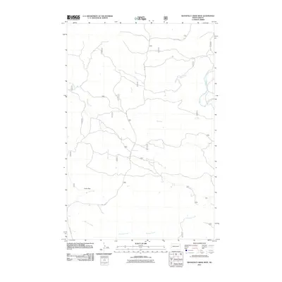
2011 Map of Roosevelt Creek West
USGS Topo · Published 2011About this map
Cooks Peak stands as a prominent landmark in this landscape defined by the drainage systems of the Little Missouri River basin. The area is characterized by a network of seasonal and perennial waterways, including the winding course of Roosevelt Creek and its namesake Bell Lake Creek. The 2011 survey reveals a sparse human footprint, primarily consisting of primitive and forest service roads that navigate the complex topography of the Badlands. Vital local routes like Belle Lake Rd and Beaver Creek Rd provide the main access points through this remote section of Billings County. This map documents a quiet period in the region's geography, tracing the paths of Dry Creek and Ellison Creek as they cut through the terrain toward the larger river valley, offering a detailed look at the natural drainage patterns that have shaped the territory.
Find a feature on this map
27 named features on this map. Tap any name to fly to it.
Don’t see what you’re looking for? This feature index may not catch every label — zoom into the map to look around manually.
Map Details
Editions of this 2011 Roosevelt Creek West Map
This is the sole edition of this map. No revisions or reprints were ever made.
Other maps of this area

1953 · Watford City
USGS Topo · 1:250,000

1957 · Watford City
USGS Topo · 1:250,000

1967 · Watford City
USGS Topo · 1:250,000

1970 · Eagle Draw
USGS Topo · 1:24,000

1970 · Hanks Gully
USGS Topo · 1:24,000

1970 · Wannagan Creek East
USGS Topo · 1:24,000

1970 · Roosevelt Creek East
USGS Topo · 1:24,000

1974 · Trotters SE
USGS Topo · 1:24,000

1974 · West Twin Butte
USGS Topo · 1:24,000

1974 · Roosevelt Creek West
USGS Topo · 1:24,000