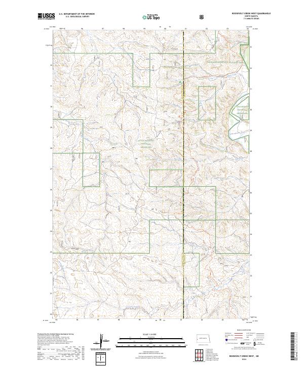
2024 Map of Roosevelt Creek West
USGS Topo · Published 2024About this map
Little Missouri National Grassland dominates this landscape along the border of Golden Valley and Billings Counties. The terrain is defined by a dense network of drainages, including Beaver Creek, Ellison Creek, and Dry Creek, which feed into the Little Missouri River as it winds through the northeastern corner. In the south, Cooks Peak rises above the valley of Bell Lake Creek, while the Maah Daah Hey Trl provides a continuous route for travelers crossing through the western edge of Theodore Roosevelt National Park. The survey illustrates a contemporary view of the public land system, tracing the township and range lines across a region characterized by its drainage basins and established ranch roads like Belle Lake Rd and Beaver Creek Rd.
Find a feature on this map
20 named features on this map. Tap any name to fly to it.
Don’t see what you’re looking for? This feature index may not catch every label — zoom into the map to look around manually.
Map Details
Editions of this 2024 Roosevelt Creek West Map
This is the sole edition of this map. No revisions or reprints were ever made.
Other maps of this area

1953 · Watford City
USGS Topo · 1:250,000

1957 · Watford City
USGS Topo · 1:250,000

1967 · Watford City
USGS Topo · 1:250,000

1970 · Eagle Draw
USGS Topo · 1:24,000

1970 · Hanks Gully
USGS Topo · 1:24,000

1970 · Wannagan Creek East
USGS Topo · 1:24,000

1970 · Roosevelt Creek East
USGS Topo · 1:24,000

1974 · Trotters SE
USGS Topo · 1:24,000

1974 · West Twin Butte
USGS Topo · 1:24,000

1974 · Roosevelt Creek West
USGS Topo · 1:24,000