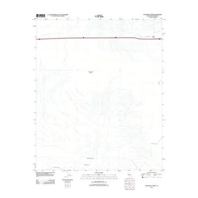
2012 Map of Roosevelt Mine
USGS Topo · Published 2012About this map
Mule Mountains dominate the southern landscape of this desert quadrangle, where the Roosevelt Mine is situated at the foot of the range. This area of the Colorado Desert is defined by its network of ephemeral washes draining from the highlands toward the Chuckwalla Valley to the north. A legacy of early overland travel is preserved in the path of The Bradshaw Trl, a historic stage route that skirts the southern edge of the mountains. Modern transportation is concentrated along the northern corridor, where the settlement of Black Rock sits adjacent to the interstate highway. Local infrastructure is sparse, limited to utility-focused routes like Gravel Pit Rd and Black Rock Rd, which provide access to the arid interior.
Find a feature on this map
8 named features on this map. Tap any name to fly to it.
Don’t see what you’re looking for? This feature index may not catch every label — zoom into the map to look around manually.
Map Details
Editions of this 2012 Roosevelt Mine Map
This is the sole edition of this map. No revisions or reprints were ever made.
Other maps of this area

1942 · Blythe
USGS Topo · 1:250,000

1945 · Cibola
USGS Topo · 1:62,500

1951 · McCoy Wash
USGS Topo · 1:24,000

1951 · Cibola
USGS Topo · 1:62,500

1952 · Mc Coy Spring
USGS Topo · 1:62,500

1952 · Palo Verde
USGS Topo · 1:24,000

1952 · Ripley
USGS Topo · 1:24,000

1953 · Palo Verde Mountains
USGS Topo · 1:62,500

1954 · Salton Sea
USGS Topo · 1:250,000

1955 · Salton Sea
USGS Topo · 1:250,000