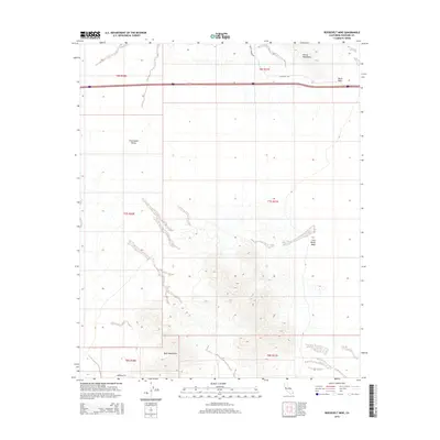
2015 Map of Roosevelt Mine
USGS Topo · Published 2015About this map
Mule Mountains and the McCoy Mountains dominate this arid landscape in the southeastern Colorado Desert, flanking the wide alluvial expanse of the Chuckwalla Valley. This 2015 survey details a rugged section of Riverside County where the land rises sharply toward the Palo Verde Mesa. Human activity here is defined by long-distance transit and historical desert routes, centered on the corridor of Interstate 10 which cuts through the northern half of the map. Traces of older desert passage are evident in the Bradshaw Trl at the southern edge, a historic path through the desert mountains. The map also documents access points such as McCoy Springs Rd and Blackrock Rd, which serve the isolated high ground near Black Rock.
Find a feature on this map
15 named features on this map. Tap any name to fly to it.
Don’t see what you’re looking for? This feature index may not catch every label — zoom into the map to look around manually.
Map Details
Editions of this 2015 Roosevelt Mine Map
This is the sole edition of this map. No revisions or reprints were ever made.
Other maps of this area

1942 · Blythe
USGS Topo · 1:250,000

1945 · Cibola
USGS Topo · 1:62,500

1951 · McCoy Wash
USGS Topo · 1:24,000

1951 · Cibola
USGS Topo · 1:62,500

1952 · Mc Coy Spring
USGS Topo · 1:62,500

1952 · Palo Verde
USGS Topo · 1:24,000

1952 · Ripley
USGS Topo · 1:24,000

1953 · Palo Verde Mountains
USGS Topo · 1:62,500

1954 · Salton Sea
USGS Topo · 1:250,000

1955 · Salton Sea
USGS Topo · 1:250,000