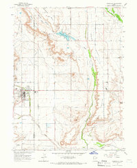
1964 Map of Roosevelt
USGS Topo · Published 1966About this map
Roosevelt serves as the focal point of this mid-1960s survey, situated along the border of Duchesne Co and Uintah Co. The town’s social landscape is defined by its educational and civic institutions, including Union High Sch and a Drive-in Theater on the western edge. To the east, the landscape transitions into the Uintah and Ouray Indian Reservation, where the Ute Mission and Todd Sch are located near the Indian Bench Canal.
Find a feature on this map
35 named features on this map. Tap any name to fly to it.
Don’t see what you’re looking for? This feature index may not catch every label — zoom into the map to look around manually.
Map Details
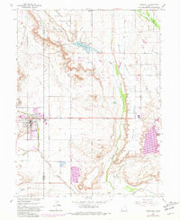
Editions of this 1964 Roosevelt Map
2 editions found
Other maps of this area

1885 · Ashley
USGS Topo · 1:250,000

1885 · Uinta
USGS Topo · 1:250,000

1917 · Vernal
USGS Topo · 1:125,000

1939 · Duchesne
USGS Topo · 1:125,000

1954 · Salt Lake City
USGS Topo · 1:250,000

1954 · Vernal
USGS Topo · 1:250,000

1958 · Vernal
USGS Topo · 1:250,000

1958 · Salt Lake City
USGS Topo · 1:250,000

1960 · Salt Lake City
USGS Topo · 1:250,000

1960 · Vernal
USGS Topo · 1:250,000