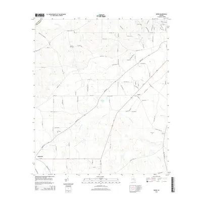
2014 Map of Roper
USGS Topo · Published 2014About this map
Snipesville and Roper anchor the rural landscape of Jeff Davis County on the edge of the Telfair County line. The terrain is defined by the branching tributaries of Hurricane Cr, which winds through the southern half of the quadrangle alongside smaller waterways like Fox Br and Old Field Br. This 2014 survey documents a region characterized by private family-named landmarks and rural infrastructure, including Harris and McDew Cem and Hinson Cem. A dense network of local roads such as Burketts Ferry Rd and Jones Rd connects the scattered homesteads. Significant water features like Okuinn Lake, Swann Lake, and Sears Lake illustrate the local drainage patterns that have shaped the agricultural development and land use of this section of Georgia.
Find a feature on this map
85 named features on this map. Tap any name to fly to it.
Don’t see what you’re looking for? This feature index may not catch every label — zoom into the map to look around manually.
Map Details
Editions of this 2014 Roper Map
This is the sole edition of this map. No revisions or reprints were ever made.
Other maps of this area

1953 · Waycross
USGS Topo · 1:250,000

1958 · Waycross
USGS Topo · 1:250,000

1971 · Nicholls NE
USGS Topo · 1:24,000

1971 · Roper
USGS Topo · 1:24,000

1971 · Jacksonville NE
USGS Topo · 1:24,000

1971 · Snipesville
USGS Topo · 1:24,000
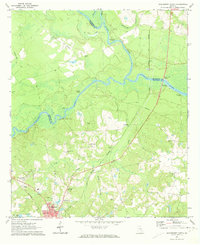
1971 · Hazlehurst North
USGS Topo · 1:24,000

1971 · Broxton NE
USGS Topo · 1:24,000

1971 · Hazlehurst South
USGS Topo · 1:24,000

1971 · Denton
USGS Topo · 1:24,000