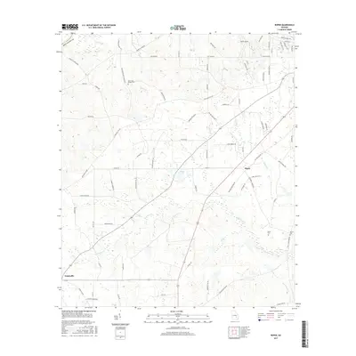
2017 Map of Roper
USGS Topo · Published 2017About this map
Roper and Snipesville anchor this 2017 survey of the rural Georgia landscape, where agricultural fields and timberlands are carved by an intricate network of creeks. The drainage patterns are dominated by Hurricane Cr and Currie Cr, which flow through the undulating terrain of Jeff Davis County. For those tracing local families, the map identifies specific burial grounds like the Harris and McDew Cem and Hinson Cem.
Find a feature on this map
79 named features on this map. Tap any name to fly to it.
Don’t see what you’re looking for? This feature index may not catch every label — zoom into the map to look around manually.
Map Details
Editions of this 2017 Roper Map
This is the sole edition of this map. No revisions or reprints were ever made.
Other maps of this area

1953 · Waycross
USGS Topo · 1:250,000

1958 · Waycross
USGS Topo · 1:250,000

1971 · Nicholls NE
USGS Topo · 1:24,000

1971 · Roper
USGS Topo · 1:24,000

1971 · Jacksonville NE
USGS Topo · 1:24,000

1971 · Snipesville
USGS Topo · 1:24,000
1971 · Hazlehurst North
USGS Topo · 1:24,000

1971 · Broxton NE
USGS Topo · 1:24,000

1971 · Hazlehurst South
USGS Topo · 1:24,000

1971 · Denton
USGS Topo · 1:24,000