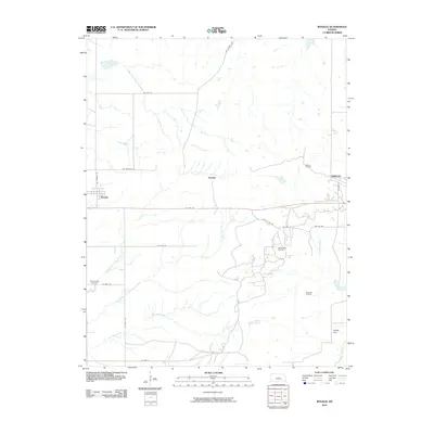
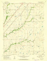
2010 Map of Rosalia
USGS Topo · Published 2010About this map
Rosalia sits at the intersection of SE Rosalia Rd and SE 10th St in Butler County, where the plains of eastern Kansas meet a network of south-flowing drainage. The landscape is defined by the headwaters of the Little Walnut River, specifically the North Branch Little Walnut River and Middle Branch Little Walnut River, which carve subtle valleys across the terrain. Smaller settlements like Summit and Sallyards are linked by a grid of rural roads, including the curious Cattle Pen Rd and NE Ivanpah Rd.
Find a feature on this map
29 named features on this map. Tap any name to fly to it.
Don’t see what you’re looking for? This feature index may not catch every label — zoom into the map to look around manually.
Map Details
Editions of this 2010 Rosalia Map
This is the sole edition of this map. No revisions or reprints were ever made.
Other maps of this area
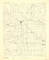
1885 · Eureka
USGS Topo · 1:125,000
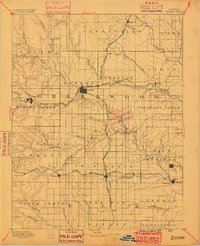
1888 · Eureka
USGS Topo · 1:125,000
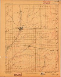
1888 · Eldorado
USGS Topo · 1:125,000
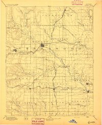
1894 · Eureka
USGS Topo · 1:125,000

1955 · Wichita
USGS Topo · 1:250,000

1958 · Wichita
USGS Topo · 1:250,000
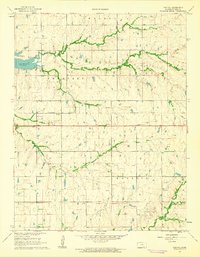
1961 · Pontiac
USGS Topo · 1:24,000
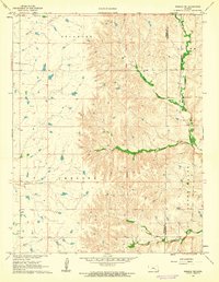
1961 · Rosalia NE
USGS Topo · 1:24,000
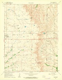
1961 · Rosalia
USGS Topo · 1:24,000
1961 · Rosalia NW
USGS Topo · 1:24,000