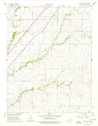
1961 Map of Rosalia NW
USGS Topo · Published 1978About this map
Aikman sits as a lonely rail point in the northern reaches of this Flint Hills landscape, where the Atchison Topeka and Santa Fe railroad cuts a diagonal line across the limestone-underlaid terrain of Sycamore and Chelsea townships. The map documents a pivotal moment in Kansas transportation history, showing the newly established Kansas Toll Road, also labeled as the Turnpike, running parallel to the older rail infrastructure. This corridor of transit contrasts sharply with the winding, natural drainages of the Walnut River and Durechen Creek, which dictate the topography of the surrounding ranchland. A small Quarry near the western edge hints at the local industry tied to the region's geology, while the presence of Satchel Creek and Bemis Cr in the south provides a detailed view of the watershed before modern agricultural changes or further development altered these rural Butler County drainages.
Find a feature on this map
11 named features on this map. Tap any name to fly to it.
Don’t see what you’re looking for? This feature index may not catch every label — zoom into the map to look around manually.
Map Details
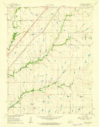
Editions of this 1961 Rosalia NW Map
2 editions found
Other maps of this area

1888 · Eldorado
USGS Topo · 1:125,000

1898 · Cottonwood Falls
USGS Topo · 1:125,000

1955 · Wichita
USGS Topo · 1:250,000

1955 · Hutchinson
USGS Topo · 1:250,000

1958 · Wichita
USGS Topo · 1:250,000

1959 · Hutchinson
USGS Topo · 1:250,000

1961 · Pontiac
USGS Topo · 1:24,000

1961 · De Graff
USGS Topo · 1:24,000

1961 · Rosalia NE
USGS Topo · 1:24,000

1961 · El Dorado
USGS Topo · 1:24,000