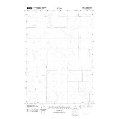
2012 Map of Roscoe NW
USGS Topo · Published 2012About this map
Glacial potholes and prairie wetlands dominate this portion of Edmunds County, where a rigid grid of section-line roads defines the rural landscape. The topography is characterized by dozens of unnamed water bodies and seasonal basins scattered across the plains, creating a complex hydrologic network typical of the Missouri Plateau. Transportation in this agricultural region is maintained by a network of gravel and dirt routes, including 335th Ave and 340th Ave, which facilitate movement between scattered farmsteads. Local land use is further organized by east-west thoroughfares such as 131st St and 139th St. The inclusion of Glover Rd provides a specific point of interest for researchers tracing property boundaries and rural access in the early twenty-first century.
Find a feature on this map
14 named features on this map. Tap any name to fly to it.
Don’t see what you’re looking for? This feature index may not catch every label — zoom into the map to look around manually.
Map Details
Editions of this 2012 Roscoe NW Map
This is the sole edition of this map. No revisions or reprints were ever made.
Other maps of this area

1954 · Aberdeen
USGS Topo · 1:250,000

1956 · Aberdeen
USGS Topo · 1:250,000

1974 · Gretna
USGS Topo · 1:24,000

1974 · Roscoe
USGS Topo · 1:24,000

1974 · Bowdle SE
USGS Topo · 1:24,000

1974 · Roscoe SW
USGS Topo · 1:24,000

1978 · Loyalton
USGS Topo · 1:24,000

1978 · Hillsview SE
USGS Topo · 1:24,000

1978 · Roscoe NW
USGS Topo · 1:24,000

1978 · Hosmer SE
USGS Topo · 1:24,000