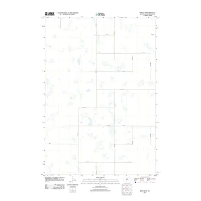
2012 Map of Roscoe SW
USGS Topo · Published 2012About this map
Glacial depressions and seasonal wetlands define this section of Edmunds County, where the landscape is organized by a strict section-line road grid. The terrain is relatively flat, interrupted only by numerous small water bodies and marshes that dot the prairie between arterial routes like 337th Ave and 340th Ave. This late-twentieth-century landscape shows minimal residential development, with the human footprint primarily visible through the network of local roads such as 140th St and 147th St. The concentration of water features suggests a geography shaped by the prairie pothole region, where drainage patterns are often subtle and fragmented across the section lines.
Find a feature on this map
14 named features on this map. Tap any name to fly to it.
Don’t see what you’re looking for? This feature index may not catch every label — zoom into the map to look around manually.
Map Details
Editions of this 2012 Roscoe SW Map
This is the sole edition of this map. No revisions or reprints were ever made.
Other maps of this area

1950 · Onaka
USGS Topo · 1:24,000

1951 · Clark Lake
USGS Topo · 1:24,000

1952 · Onaka
USGS Topo · 1:24,000

1954 · Aberdeen
USGS Topo · 1:250,000

1956 · Aberdeen
USGS Topo · 1:250,000

1965 · Onaka
USGS Topo · 1:24,000

1974 · Gretna
USGS Topo · 1:24,000

1974 · Roscoe
USGS Topo · 1:24,000

1974 · Bowdle SE
USGS Topo · 1:24,000

1974 · Roscoe SW
USGS Topo · 1:24,000