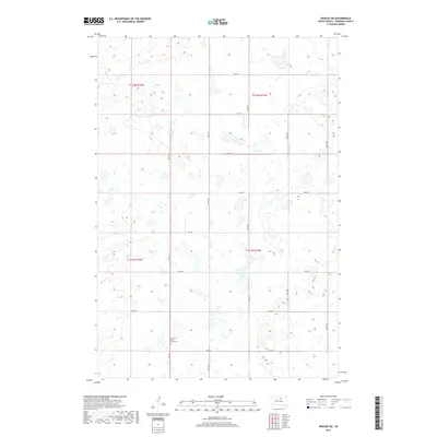
2017 Map of Roscoe SW
USGS Topo · Published 2017About this map
Old Saint John Church Cem stands as a focal point of this rural prairie landscape in Edmunds County, South Dakota. The topography is defined by the repetitive section lines of the Public Land Survey System, where townships like t121n r71w and t121n r72w meet. This 2017 survey reflects the persistent agricultural grid of the Great Plains, with roads like Co Rd 5 and 337th Ave acting as the primary arteries through a terrain dotted with numerous small wetlands and seasonal depressions. The lack of concentrated urban development highlights the area's continued reliance on the historical township and range system for spatial organization, making it a valuable record for those studying land use and small rural congregations in the early 21st century.
Find a feature on this map
19 named features on this map. Tap any name to fly to it.
Don’t see what you’re looking for? This feature index may not catch every label — zoom into the map to look around manually.
Map Details
Editions of this 2017 Roscoe SW Map
This is the sole edition of this map. No revisions or reprints were ever made.
Other maps of this area

1950 · Onaka
USGS Topo · 1:24,000

1951 · Clark Lake
USGS Topo · 1:24,000

1952 · Onaka
USGS Topo · 1:24,000

1954 · Aberdeen
USGS Topo · 1:250,000

1956 · Aberdeen
USGS Topo · 1:250,000

1965 · Onaka
USGS Topo · 1:24,000

1974 · Gretna
USGS Topo · 1:24,000

1974 · Roscoe
USGS Topo · 1:24,000

1974 · Bowdle SE
USGS Topo · 1:24,000

1974 · Roscoe SW
USGS Topo · 1:24,000