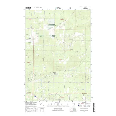
2017 Map of Roscommon North
USGS Topo · Published 2017About this map
Roscommon serves as the primary hub at the southern edge of this Michigan survey, where the town grid meets the southern boundary of the Huron National Forest. The landscape is defined by the winding course of the South Branch Au Sable River, a renowned waterway that passes under Steckert Bridge and Chase Bridge. Significant portions of the northern terrain are dedicated conservation areas, specifically the Kirtlands Warbler Wildlife Management Area, which is crisscrossed by specialized routes like the Mi Shore to Shore Horse&Hike trail.
Find a feature on this map
94 named features on this map. Tap any name to fly to it.
Don’t see what you’re looking for? This feature index may not catch every label — zoom into the map to look around manually.
Map Details
Editions of this 2017 Roscommon North Map
This is the sole edition of this map. No revisions or reprints were ever made.
Other maps of this area

1949 · Grayling
USGS Topo · 1:62,500

1950 · Grayling
USGS Topo · 1:24,000

1950 · Roscommon North
USGS Topo · 1:24,000

1951 · Wakeley Lake
USGS Topo · 1:24,000

1951 · Grayling
USGS Topo · 1:24,000

1951 · Roscommon North
USGS Topo · 1:24,000

1951 · Pere Cheney
USGS Topo · 1:24,000

1954 · Traverse City
USGS Topo · 1:250,000

1958 · Traverse City
USGS Topo · 1:250,000

1963 · Roscommon South
USGS Topo · 1:24,000
Featured Places
- Roscommon, MI
- Higgins Township, MI
- Beaver Creek Township, MI
- Deerheart Valley, MI
- Grayling Charter Township, MI