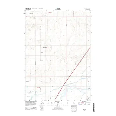
2013 Map of Rose
USGS Topo · Published 2013About this map
Snake River water management defines this portion of Bingham County, where an intricate network of man-made waterways supports the regional agricultural landscape. The southern portion of the sheet reveals a complex irrigation system including the Aberdeen Springfield Canal, Riverside Canal, and Peoples Canal, which draw from the river to transform the arid terrain. To the north, the topography shifts dramatically at Hells Half Acre, a distinctive volcanic landscape that contrasts with the settled river valley below.
Find a feature on this map
41 named features on this map. Tap any name to fly to it.
Don’t see what you’re looking for? This feature index may not catch every label — zoom into the map to look around manually.
Map Details
Editions of this 2013 Rose Map
This is the sole edition of this map. No revisions or reprints were ever made.
Other maps of this area

1940 · Blackfoot
USGS Topo · 1:62,500

1943 · Blackfoot
USGS Topo · 1:62,500

1948 · Woodville
USGS Topo · 1:24,000

1950 · Woodville
USGS Topo · 1:24,000

1955 · Baldy Knoll
USGS Topo · 1:24,000

1955 · Lincoln Creek
USGS Topo · 1:24,000

1955 · Rose
USGS Topo · 1:24,000

1955 · Firth
USGS Topo · 1:24,000

1955 · Yandell Springs
USGS Topo · 1:62,500

1955 · Idaho Falls
USGS Topo · 1:250,000