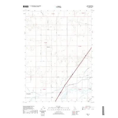
2020 Map of Rose
USGS Topo · Published 2020About this map
Rising River and the agricultural settlements of Rose and McDonaldville occupy this corner of the Snake River Valley in Bingham County. The landscape is defined by an intricate network of irrigation infrastructure essential to Idaho's high-desert farming, featuring major conduits like the Aberdeen Springfield Canal and the Peoples Canal. These man-made waterways crisscross the plains alongside the Snake River, which winds through the southeastern portion of the quadrangle. Local road systems follow the rigid township and range lines, including Morgans Pasture Rd and Rising River Rd, anchoring the rural character of the area. Significant smaller ditches, such as the Weggland Ditch and New Lavaside Ditch, illustrate the fine-grained water management required to support the local homesteads and pastures.
Find a feature on this map
51 named features on this map. Tap any name to fly to it.
Don’t see what you’re looking for? This feature index may not catch every label — zoom into the map to look around manually.
Map Details
Editions of this 2020 Rose Map
This is the sole edition of this map. No revisions or reprints were ever made.
Other maps of this area
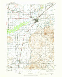
1940 · Blackfoot
USGS Topo · 1:62,500
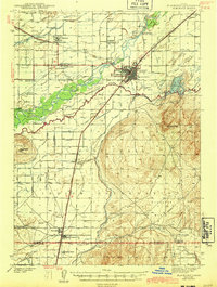
1943 · Blackfoot
USGS Topo · 1:62,500
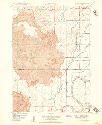
1948 · Woodville
USGS Topo · 1:24,000
1950 · Woodville
USGS Topo · 1:24,000
1955 · Baldy Knoll
USGS Topo · 1:24,000
1955 · Lincoln Creek
USGS Topo · 1:24,000
1955 · Rose
USGS Topo · 1:24,000
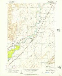
1955 · Firth
USGS Topo · 1:24,000
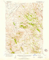
1955 · Yandell Springs
USGS Topo · 1:62,500
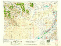
1955 · Idaho Falls
USGS Topo · 1:250,000