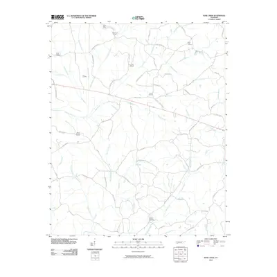
2010 Map of Rose Creek
USGS Topo · Published 2010About this map
Rose Creek flows through this McNairy County landscape, which is defined by a dense network of family-named roads and rural burial grounds. The area's genealogical history is anchored by numerous sites including Center Ridge Cemetery, Buena Vista Cemetery, and Mount Gilead Cemetery, which are scattered among the tributary systems of Little Hatchie Creek and Nail Creek. The presence of Whitehurst Airport in the north provides a distinct modern landmark amidst the traditional farm-to-market road grid.
Find a feature on this map
67 named features on this map. Tap any name to fly to it.
Don’t see what you’re looking for? This feature index may not catch every label — zoom into the map to look around manually.
Map Details
Editions of this 2010 Rose Creek Map
This is the sole edition of this map. No revisions or reprints were ever made.
Other maps of this area
1936 · Purdy
USGS Topo · 1:24,000

1936 · Mt. Peter
USGS Topo · 1:24,000
1949 · Mt. Peter
USGS Topo · 1:24,000
1949 · Purdy
USGS Topo · 1:24,000
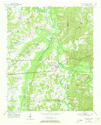
1950 · Pocahontas
USGS Topo · 1:24,000
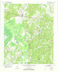
1950 · Hornsby
USGS Topo · 1:24,000
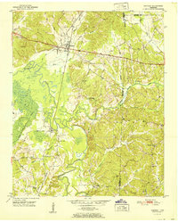
1951 · Hornsby
USGS Topo · 1:24,000
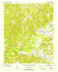
1951 · Chewalla
USGS Topo · 1:24,000
1951 · Guys
USGS Topo · 1:24,000
1951 · Rose Creek
USGS Topo · 1:24,000