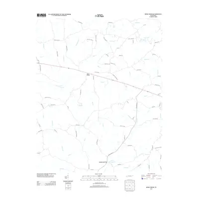
2013 Map of Rose Creek
USGS Topo · Published 2013About this map
Rose Creek and Sulphur Springs anchor this McNairy County landscape as it appeared in the early 21st century. The terrain is defined by a dense network of local roads and winding waterways that reflect generations of rural Tennessee life. Key transit corridors like Sandy Flat Rd and Rowsey School Rd provide access through a region carved by Little Hatchie Cr and its numerous tributaries.
Find a feature on this map
72 named features on this map. Tap any name to fly to it.
Don’t see what you’re looking for? This feature index may not catch every label — zoom into the map to look around manually.
Map Details
Editions of this 2013 Rose Creek Map
This is the sole edition of this map. No revisions or reprints were ever made.
Other maps of this area

1936 · Purdy
USGS Topo · 1:24,000

1936 · Mt. Peter
USGS Topo · 1:24,000

1949 · Mt. Peter
USGS Topo · 1:24,000

1949 · Purdy
USGS Topo · 1:24,000

1950 · Pocahontas
USGS Topo · 1:24,000

1950 · Hornsby
USGS Topo · 1:24,000

1951 · Hornsby
USGS Topo · 1:24,000

1951 · Chewalla
USGS Topo · 1:24,000

1951 · Guys
USGS Topo · 1:24,000

1951 · Rose Creek
USGS Topo · 1:24,000