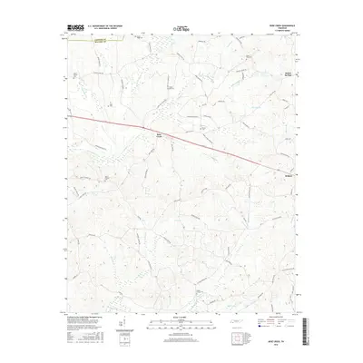
2016 Map of Rose Creek
USGS Topo · Published 2016About this map
Bethel Springs and the outskirts of Selmer anchor this western Tennessee landscape, where the terrain is defined by a dense network of creek branches and rural family roads. The area is marked by numerous historic burial grounds, including Center Ridge Cem and Mount Gilead Cem, which serve as vital landmarks for genealogists tracing early McNairy County families. These sites are often found near significant watercourses like the Little Hatchie Cr and Rose Cr.
Find a feature on this map
83 named features on this map. Tap any name to fly to it.
Don’t see what you’re looking for? This feature index may not catch every label — zoom into the map to look around manually.
Map Details
Editions of this 2016 Rose Creek Map
This is the sole edition of this map. No revisions or reprints were ever made.
Other maps of this area

1936 · Purdy
USGS Topo · 1:24,000

1936 · Mt. Peter
USGS Topo · 1:24,000

1949 · Mt. Peter
USGS Topo · 1:24,000

1949 · Purdy
USGS Topo · 1:24,000

1950 · Pocahontas
USGS Topo · 1:24,000

1950 · Hornsby
USGS Topo · 1:24,000

1951 · Hornsby
USGS Topo · 1:24,000

1951 · Chewalla
USGS Topo · 1:24,000

1951 · Guys
USGS Topo · 1:24,000

1951 · Rose Creek
USGS Topo · 1:24,000