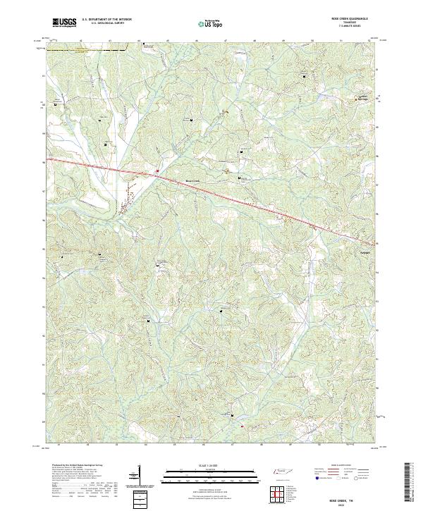
2022 Map of Rose Creek
USGS Topo · Published 2022About this map
The headwaters of Little Hatchie Creek and Rose Creek define this rural McNairy County landscape, where family cemeteries and country roads trace a long-standing agricultural pattern. The area is anchored by the community of Rose Creek, with the outskirts of Bethel Springs and Selmer appearing at the eastern and southeastern margins. For genealogists and local historians, the abundance of small burial grounds provides significant research value, including the Hunters Chapel Cemetery, Moores Schoolhouse Cemetery, and Center Ridge Church Cemetery. The drainage network is dense, featuring numerous tributaries like Hamestring Creek, Abernathy Branch, and Mosses Creek that wind between the low hills. This 2022 survey documents the modern road network, from Nelson Store Road to the winding paths of Hines Gin Loop, illustrating how modern infrastructure follows the traditional terrain.
Find a feature on this map
89 named features on this map. Tap any name to fly to it.
Don’t see what you’re looking for? This feature index may not catch every label — zoom into the map to look around manually.
Map Details
Editions of this 2022 Rose Creek Map
This is the sole edition of this map. No revisions or reprints were ever made.
Other maps of this area

1936 · Purdy
USGS Topo · 1:24,000

1936 · Mt. Peter
USGS Topo · 1:24,000

1949 · Mt. Peter
USGS Topo · 1:24,000

1949 · Purdy
USGS Topo · 1:24,000

1950 · Pocahontas
USGS Topo · 1:24,000

1950 · Hornsby
USGS Topo · 1:24,000

1951 · Hornsby
USGS Topo · 1:24,000

1951 · Chewalla
USGS Topo · 1:24,000

1951 · Guys
USGS Topo · 1:24,000

1951 · Rose Creek
USGS Topo · 1:24,000