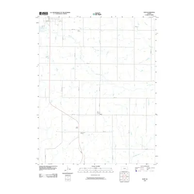
2009 Map of Rose
USGS Topo · Published 2009About this map
South Owl Creek and its various tributaries wind through this section of Woodson County, shaping a rural landscape defined by agricultural allotments and section-line roads. The small settlement of Rose sits near the center of the map, serving as a local focal point alongside geological features like the Rose Dome. For those tracing local history or family lineage, the presence of the Kalida Cemetery in the north and the Pleasant Valley Cemetery further south provides concrete points of reference for early 21st-century settlement patterns.
Find a feature on this map
30 named features on this map. Tap any name to fly to it.
Don’t see what you’re looking for? This feature index may not catch every label — zoom into the map to look around manually.
Map Details
Editions of this 2009 Rose Map
This is the sole edition of this map. No revisions or reprints were ever made.
Other maps of this area

1886 · Fredonia
USGS Topo · 1:125,000

1894 · Fredonia
USGS Topo · 1:125,000

1938 · Fredonia
USGS Topo · 1:62,500

1938 · Altoona
USGS Topo · 1:62,500

1939 · Altoona
USGS Topo · 1:48,000

1939 · Fredonia
USGS Topo · 1:48,000

1942 · Fredonia
USGS Topo · 1:62,500

1943 · Fredonia
USGS Topo · 1:62,500

1943 · Altoona
USGS Topo · 1:62,500

1947 · Joplin
USGS Topo · 1:250,000