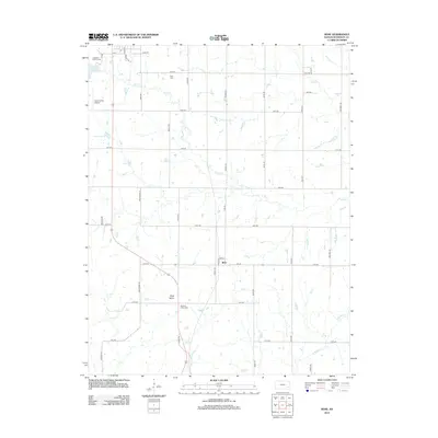
2012 Map of Rose
USGS Topo · Published 2012About this map
Rose and the surrounding Woodson County countryside are defined by a grid of rural routes and the wandering paths of several prairie streams. The landscape is marked by the unique geological formation of Rose Dome, which sits just south of the settlement. Water features are prominent throughout the quadrangle, including the Yates Center Reservoir and the headwaters of S Owl Creek, Bloody Run, and E Buffalo Creek. Local genealogy and land use are traced through markers like Kaila Cemetery and Pleasant Valley Cemetery, situated along the section roads. Near the northwestern corner, municipal interests for nearby Yates Center are represented by the Yates Center Airport and Lakeside Golf Course, while the rest of the map remains largely agricultural with a network of bird-named roads such as Nighthawk Road and Oriole Road.
Find a feature on this map
40 named features on this map. Tap any name to fly to it.
Don’t see what you’re looking for? This feature index may not catch every label — zoom into the map to look around manually.
Map Details
Editions of this 2012 Rose Map
This is the sole edition of this map. No revisions or reprints were ever made.
Other maps of this area

1886 · Fredonia
USGS Topo · 1:125,000

1894 · Fredonia
USGS Topo · 1:125,000

1938 · Fredonia
USGS Topo · 1:62,500

1938 · Altoona
USGS Topo · 1:62,500

1939 · Altoona
USGS Topo · 1:48,000

1939 · Fredonia
USGS Topo · 1:48,000

1942 · Fredonia
USGS Topo · 1:62,500

1943 · Fredonia
USGS Topo · 1:62,500

1943 · Altoona
USGS Topo · 1:62,500

1947 · Joplin
USGS Topo · 1:250,000