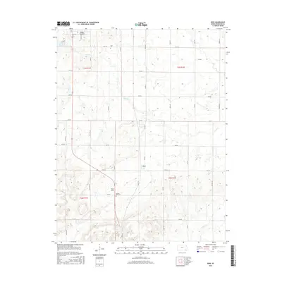
2015 Map of Rose
USGS Topo · Published 2015About this map
Yates Center and the smaller settlement of Rose anchor this portion of Woodson County, where the landscape is defined by the headwaters of the S Owl Cr and the drainage of Bloody Run. The geography here transitions between agricultural sections and unique geological formations, most notably the Rose Dome, a significant topographic and geological feature in the central portion of the map.
Find a feature on this map
38 named features on this map. Tap any name to fly to it.
Don’t see what you’re looking for? This feature index may not catch every label — zoom into the map to look around manually.
Map Details
Editions of this 2015 Rose Map
This is the sole edition of this map. No revisions or reprints were ever made.
Other maps of this area

1886 · Fredonia
USGS Topo · 1:125,000

1894 · Fredonia
USGS Topo · 1:125,000

1938 · Fredonia
USGS Topo · 1:62,500

1938 · Altoona
USGS Topo · 1:62,500

1939 · Altoona
USGS Topo · 1:48,000

1939 · Fredonia
USGS Topo · 1:48,000

1942 · Fredonia
USGS Topo · 1:62,500

1943 · Fredonia
USGS Topo · 1:62,500

1943 · Altoona
USGS Topo · 1:62,500

1947 · Joplin
USGS Topo · 1:250,000