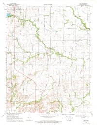
1968 Map of Rose
USGS Topo · Published 1969About this map
The town of Yates Center and the village of Rose anchor this late 1960s study of central Woodson County. The landscape is defined by the drainage of South Owl Creek and Owl Creek, with the prominent Indian Treaty Boundary cutting across the southern portion of the quadrangle. The area’s economic history is visible through numerous Oil Well locations and Quarries situated near the Missouri Pacific rail line. Local genealogy is supported by the presence of the Pleasant Valley Cem and Kalida Cem, along with the New York Valley Ch. An Old Railroad Grade traces a path through the center, marking a shift in the local transportation network. To the northwest, the Yates Center Reservoir and nearby Fairgrounds show the intersection of municipal infrastructure and community life during this era of rural development.
Find a feature on this map
25 named features on this map. Tap any name to fly to it.
Don’t see what you’re looking for? This feature index may not catch every label — zoom into the map to look around manually.
Map Details
Editions of this 1968 Rose Map
This is the sole edition of this map. No revisions or reprints were ever made.
Other maps of this area

1886 · Fredonia
USGS Topo · 1:125,000

1894 · Fredonia
USGS Topo · 1:125,000

1938 · Fredonia
USGS Topo · 1:62,500

1938 · Altoona
USGS Topo · 1:62,500

1939 · Altoona
USGS Topo · 1:48,000

1939 · Fredonia
USGS Topo · 1:48,000

1942 · Fredonia
USGS Topo · 1:62,500

1943 · Fredonia
USGS Topo · 1:62,500

1943 · Altoona
USGS Topo · 1:62,500

1947 · Joplin
USGS Topo · 1:250,000