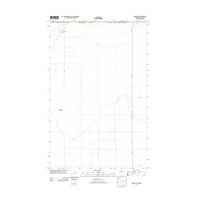
2013 Map of Roseau NE
USGS Topo · Published 2013About this map
Roseau River meanders across the borderlands of northern Roseau County in this 2013 survey of the international boundary between the United States and Canada. The landscape is dominated by the expansive Roseau Lakebed, a topographical reminder of the region's glacial history and complex drainage patterns. In the northwestern corner of the quadrangle, Minnesota Hill provides a distinct change in elevation against the surrounding plains. The local infrastructure is defined by a precise grid of rural roads, including 350th Ave and 370th Ave, which facilitate movement through this agricultural and hydrological landscape. State highway Mn-310 serves as the primary north-south artery, cutting straight toward the Canadian border through the quiet terrain of the far north.
Find a feature on this map
11 named features on this map. Tap any name to fly to it.
Don’t see what you’re looking for? This feature index may not catch every label — zoom into the map to look around manually.
Map Details
Editions of this 2013 Roseau NE Map
This is the sole edition of this map. No revisions or reprints were ever made.
Other maps of this area

1918 · Goos
USGS Topo · 1:62,500

1918 · Roseau
USGS Topo · 1:62,500

1943 · Goos
USGS Topo · 1:62,500

1954 · Roseau
USGS Topo · 1:250,000

1957 · Roseau
USGS Topo · 1:250,000

1958 · Roseau
USGS Topo · 1:250,000

1963 · Kenora
USGS Topo · 1:250,000
1966 · Pinecreek
USGS Topo · 1:24,000
1966 · Fox
USGS Topo · 1:24,000

1966 · Salol NW
USGS Topo · 1:24,000